Tutorial: tagging parking=surface efficiently with a MapRoulette Tag-Fix Challenge
Americans love cars. More than 90% of households own one, more than 20% of households own 3 or more. Cars stand still most of the time and for that, we need huge amounts of parking.
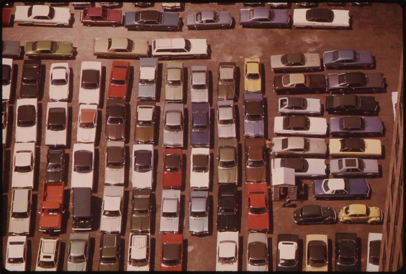
Image source: Flickr Commons
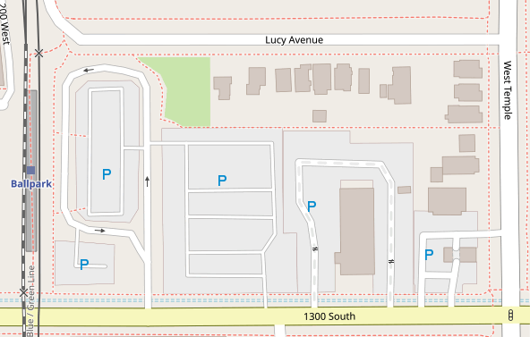
The simplest way to map a parking area in OSM is to draw an area and
mark it amenity=parking. It will then show up on the map as a grey
area with a blue “P”. In the United States, almost a million areas exist
with the amenity=parking tag.
For more detail, you can add the parking=* tag to indicate what kind
of parking area it is. Common values are surface, multi-storey and
street_side. However, less than
37%
of all parking areas in the United States have a parking=* tag. In
this tutorial, I will show you how to create a MapRoulette Challenge for
your area that lets mappers confirm that a parking area is surface
parking or not. We will do this using the Overpass API, JOSM, the
MapRoulette CLI tool, and MapRoulette itself.
Finding your area of interest relation
First, to get the right input for the overpass query, we need an area to work with. You could use a bounding box or an area relation. In this example, I will use the relation for Houston, Texas. I look the relation id up using the OSM website:
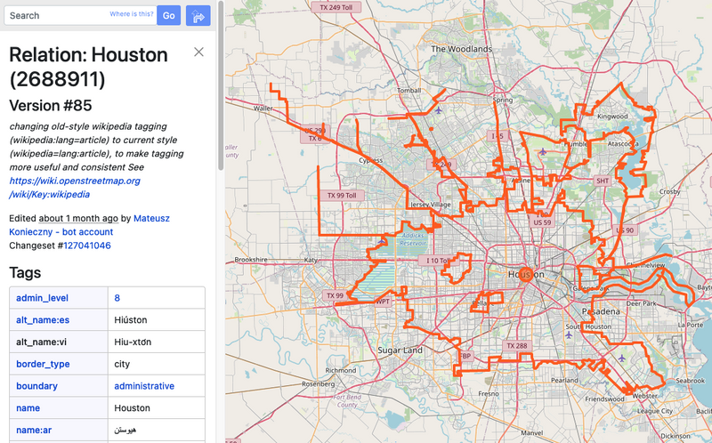
Note down the relation id, in my case 2688911.
Get parking area data in JOSM
Next we fire up JOSM to load the existing parking areas for Houston. We use the following Overpass query:
rel(2688911);map_to_area->.houston;
way[amenity=parking][!parking](area.houston)(if:length()>200);
out;(._;>;);out meta;
This gives us all areas that are marked with amenity=parking but don’t
have any parking=* tag. We filter out small areas by specifying a
minimum perimeter length of 200 meters.
Make sure you load this data into a new JOSM layer with no other data in it.
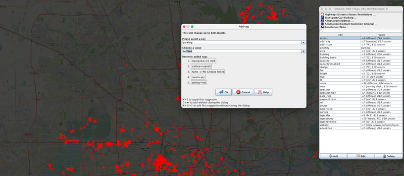
Making the tag changes in JOSM
Next, we select all the ways by using the search function in JOSM and
specifying type:way as the search parameter. We then add
parking=surface to all of these ways. This change will be the tag
suggestion in our MapRoulette task later.
Save the layer as a JOSM data file.
Create the MapRoulette JSON with mr-cli
The mr-cli tool is designed to take an OSMChange / JOSM change file
and create MapRoulette Tag Fix or Cooperative tasks from it. You can
install it with npm. You can find more information about the tool on
its GitHub page.
We use the following command to create the tag-fix challenge:
mr coop tag --out parking_houston.json parking_houston.osm
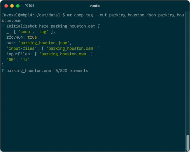
This will take our newly created modified OSM data parking_houston.osm
and process all tag changes into a JSON file with MapRoulette tag-fix
tasks.
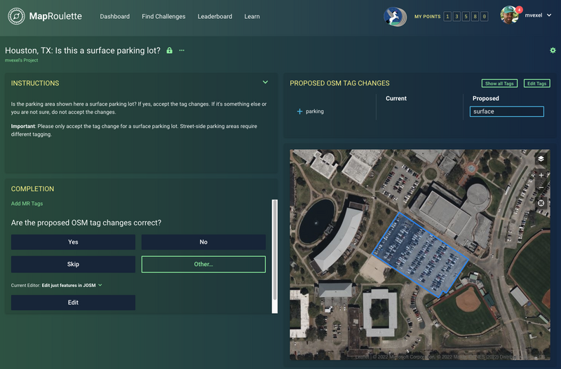
Creating the Challenge
In MapRoulette, we open the “Create and Manage” area to create our new Challenge. We add an appropriate name, description and instructions. We select the JSON we just created as the task source. Also don’t forget to add an appropriate changeset comment, and select a good aerial imagery layer so mappers can see the current reality on the ground and make a decision.
Result
This is the MapRoulette Challenge we just created!
If you want to create a similar challenge for your city or area, you can follow these instructions and just replace the relation id with the appropriate one.
Happy Mapping!